Crook Peak (sometimes called Crook’s Peak) is that high, conical or curved hill on the edge of the Mendip Hills, which so many see as they drive past on the M5 motorway below. It’s a great place to head to on a ramble on the Mendips and commands fantastic views over the land below.
Walking access can be from the Kings Wood Car Park, and then along the brow of Wavering Down, past Hill Farm with its impressive beeches and the stile looking down northwards over Winscombe, and then continuing along and climbing slowly on up to the peak.
Alternatively you can access it via the shorter but steeper Crook Peak footpath, on the Webbington Road by the corner of Rackley Lane. There’s space there for about three cars, so you might be lucky enough to secure a parking place.
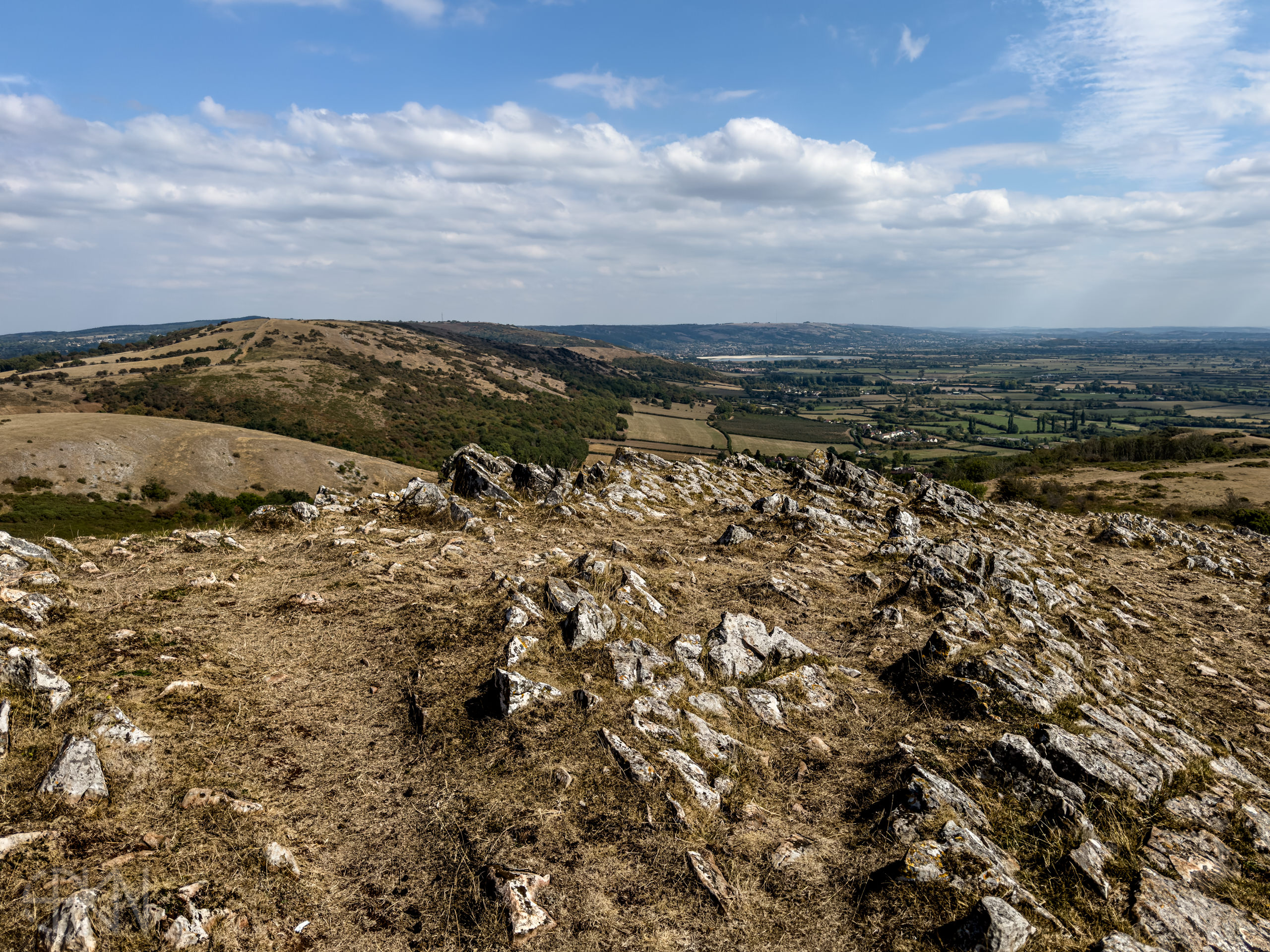
The Crook Peak footpath traverses a steep shoulder of a hill rising straight up to the peak, and is probably the shortest way. It’s usually an exhilarating walk, though on the day I took these photos it was virtually grassless, a dun yellow colour (as was the peak itself), thanks to the drought over the summer.

From the summit you can see Cheddar reservoir to the south-east (which was distinctly depleted of water on this day) and the motorway below, snaking its way on past Brent Knoll to the south, and in the distance a sliver of the estuary and then a dim view of the north Somerset-Devon coastline. On this day the motorway was slow, carrying the bank holiday traffic.

In the south-east beyond Wedmore can be seen the familiar landmark of Glastonbury Tor, its tower rising like a sentinel above the surrounding countryside.